Geolocation Apps: The Creating Process
Geolocation Apps: The Creating Process
- Last Updated: December 2, 2024
Guest Writer
- Last Updated: December 2, 2024

What do Target, Uber, and Pokemon Go have in common? They're all location-based applications. Today, map-based applications are firmly rooted in mobile app development, thus becoming a staple for many thriving businesses. Various industries leverage the geolocation option to enhance users’ experiences and make them more entertaining at the same time. Love it or hate it, but this technology is palpable in more than 90% of apps we see on the App Store or Google Play.
By building customized geolocation apps, businesses can skyrocket their sales and drive customer value quickly and efficiently.
As of 2020, the location-based app market size has reached$17, 8 billion and it will continue to grow up to $39,2 billion by 2025. Along with this surge, the interest in location-based services apps will gain momentum as well.
In this article, we’ll take a look under the covers of geolocation technologies and share the core features of any location app, as well as provide the basic steps you may need to make one.
Location-Based Apps: The Only Guide You Need
Step 1. Analyze the Market
Make a thorough research of the market and competitor analysis. This will help you to assess marketability and fetch valuable insights as to the main features.
Step 2. Create App Wireframe
To turn your idea into a tangible solution, you should define the overall functionality and validate the concept.
Step 3. Build a Minimum Viable Product
Build an MVP to define if the core functionality is chosen correctly and obtain feedback from real users.
Step 4. Develop a Feature-Rich GPS App
Once you use consumer feedback, you can get the development phase started and enrich your application with other features.
Examples of Map-Based Apps
GPS Navigation
We all have GPS apps downloaded on our smartphones. Google Maps is probably the most downloaded GPS application in the whole world. However, if you’re not a fan of Google Maps, other options can help navigate the terrain. Other popular geolocation services include Waze, Mapquest, as well as a wide array of compasses, public transport service times, and star charts.
Reviews and Ratings
These apps help users to get more out of their smartphones. Just joking. Recommendation apps are all about going places and sharing impressions.
Geosocial Networking
These apps also augment the geolocation technology but add a social component. Using a GeoSN app, users can check-in at places, find friends in the vicinity or share content. It can either be a standard online social network like Facebook or Instagram, or a pure geo-based app like Foursquare.
GPS Location Tracker
Typically, such apps are used to keep tabs on your loved ones' real-time location or your property like cars. You need to install the app on another device to track the activity, including the GPS location.
Weather Apps
It's always a perk if you can peek into the future before making an outing plan. Weather apps help you predict the weather in a particular location and make instant updates about meteorological events. AccuWeather and Weather Underground are the first players in this category that break the download records.
On-Demand Services
On-demand services are paving the way for the adoption of GPS technology in mobile apps, but there is one more thing without which it would have been impossible to provide on-demand transportation services. Geolocation is the backbone for developing innovative on-demand taxi and food delivery app solutions. Without it, such on-demand giants as Uber would’ve never seen the light of day.
Fitness
Fitness and health applications are among success stories that have tapped into GPS technologies the most. MapMyRun, MyFitnessPal, and others use a GPS tracking functionality and an accelerometer to track running, map routes, speeds, and include a social media sparkling by enabling fitness cuties to share progress on social media.
Lifestyle
Hobby and lifestyle applications help you stay tuned to your hobbies and discover like-minded individuals who share your passion.
Events
Feature-rich event apps allow organizations to deliver a personalized experience and bring together tech-savvy attendees and event hosts. Eventbrite Onsite and Pathable are pace-setters in this niche.
Travel
The unstoppable unicorns like Airbnb have set the bar high for the travel and booking industry and have become a household name in many countries. The secret behind its success is location relevance enabled by GPS technology.
Memory
These apps use location data to help users celebrate the best moments of their past. CheckPath and TimeHope will take you on a nostalgia ride.
Social Media & Geolocation Dating Apps
Usually, social media and dating apps offer a geotagging feature that connects people according to their location. Led by Tinder, a surge in mobile dating apps is staggering.
Location-Based Q&A Platforms
Apps like Localmind or Nextdoor leverage existing check-in services to provide real-time answers for destination-related questions.
eCommerce
The e-commerce industry also makes the most of location-based service apps. The benefits online stores reap are numerous, from segmenting marketing campaigns to accessing current visits. eBay and Asos elevate the shopping journey by measuring local interests and keeping track of deliveries.
Offline Business Apps
Businesses don’t necessarily have to go online to leverage GPS technology. Location-based applications help to update customers on upcoming events or provide reward plans.
Augmented Reality and Games
AR and VR seem to grab all headlines in 2020. World-known companies have been fast enough to make a revolutionary step forward and implement geo AR and VR. Talking about popular Applications, Pokémon Go is not only a big hit in the AR landscape, but it is also one of the surprising success stories in the mobile game market.
Technologies to Power GPS-Based Apps
GPS requires two major ingredients: location-based services and maps.
Today, there are plenty of options to track the location, but we’ll cover the most popular ones. There are a few different ways to determine outdoor geolocation with various services. We'll talk about the most widespread of them.
Global Positioning System
Essentially, GPS is a satellite navigation system that provides distance and time measurements and determines the location of objects in the global coordinate system of WGS 84. As it turns out, many manufacturers also install the most advanced GPS receivers on their smartphones, capable of determining the location with an accuracy of 11 inches.
GSM Cell ID
If GPS is unavailable, smartphones can determine the location based on the data from the cell network. It allows to track user’s whereabouts within an accuracy of about 0.6 miles by resolving the Cell IS against a database of Cell ID to location.
A-GPS
Augmented GPS refers to a technology that enhances performance using faster localization and higher accuracy. It takes the best from GPS and Cell ID.
WiFi
If you want to know where a thing is in places you don’t control, WiFi is a great option. WiFi geolocation resembles Cell ID. However, it’s much more accurate and more cost-effective. The main idea is to pull out the nearby WiFi hotspots and hand over the authentic IDs to a remote app that will correlate them to a database of in-base hotspots.
Indoor Positioning Systems
Indoor positioning technology is a rising force in the retail sector owing to numerous benefits associated with it. A report by MarketsandMarkets suggests that the global indoor location market is foreseen to rocket to $44 billion by 2022. This positive tendency is proved because more than 80-90% of people’s time is spent indoors. Combine that with the proliferation of smartphone-connected devices and newly-minted mobile buyer behavior; it is no surprise that organizations of all sizes are looking to chip in.
On top of it, we should note that 8 of 10 buyers rely on their smartphones to simplify the final decision-making before heading out in-store.
Geofencing
Geofencing is a location-based service that uses GPS, RFID, WiFi, or cellular data to create a virtual geographic boundary, enabling software to trigger a response when a mobile device enters or leaves a particular area. You must have come across this technology in advertising. When you download a food-chain app, you get a promotional code or a coupon the next time you happen to drive by that location. However, the potential of geofencing extends beyond coupons and promos.
Acquisition of geolocation data can be done by using three types of triggers:
- Static trigger is based on the position of the mobile user in terms of the fixed area. For instance, users get a notification once they enter the restaurant.
- Dynamic trigger is also based on the user's position and notify them about the updated data.
- The combined trigger sends events based on the user’s location regarding the position of other users. For example, apps like Facebook or Foursquare send an alert when your friend checks in the same place as yours.
iBeacon and Eddystone
Apple iBeacon and Google Eddystone are the two major beacon protocols that help businesses identify opportunities to harness the application scope of Bluetooth beacons and beacon-powered app development to provide a holistic user experience. Essentially, beacons are tiny devices placed in consumers’ physical environment, which can emit low energy Bluetooth signals. BLE, in their turn, trigger events in personalized mobile applications for iBeacon and Eddystone.
Unlike geofencing, beacons cannot pinpoint the user's map location. A beacon sends out a signal, a unique ID number, and a nearby Bluetooth-enabled device like your smartphone can pick up the signal. Then, a specified app recognizes the signal and links it to action. The data can then be used for triggering either an active action like pop-ups and coupons or passive activities like collecting user data.
IoT in Geolocation
The beacon technology has ushered in a new stage of Geo IoT development. Market Insight Reports demonstrate that the expected market size for geolocation in IoT is predicted to grow by more than $70 billion by the end of 2025 from its current value of $40 billion.
Integration of geolocation within IoT platforms blazes a new trail in the development of IoT-enabled geolocation Applications. The innovation is currently shifting from location-aware devices to integrated location services that utilize analytics and data mining. This will help businesses provide unmatched location-aware services and get a leg up in the competitive landscape.
Security: The Risk of a Trending Technology
Mobile geolocation services are penetrating in the “constantly connected” world. And despite the obvious market benefits, the map-based services put users and service providers at risk.
Since multiple data controllers get hold of data, users cannot identify the source and data collection ownership. Also, geolocation technology raises questions about online privacy, as the possibility of criminal attacks becomes even more palpable. Therefore, along with potential benefits, companies should make the security of geodata their priority.
The Final Word
Geo-based apps seem to make waves in all industries and transform the way companies communicate with their users. By building customized geolocation apps, businesses can skyrocket their sales and drive value to the customers in a knick of time and place.
The Most Comprehensive IoT Newsletter for Enterprises
Showcasing the highest-quality content, resources, news, and insights from the world of the Internet of Things. Subscribe to remain informed and up-to-date.
New Podcast Episode

Moving Past the Pilot Phase in IoT and AI
Related Articles


Related Solutions
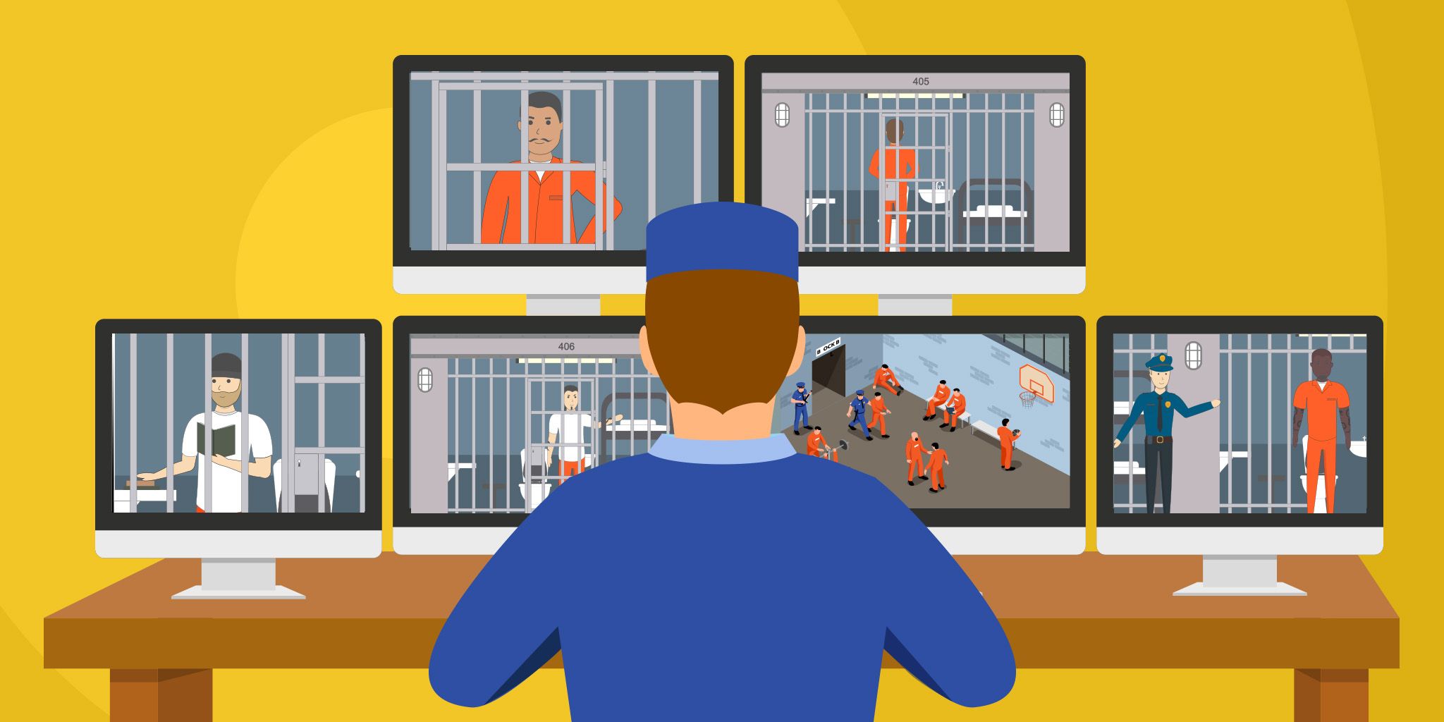
Indoor Positioning for Correctional Facilities
High-precision indoor positioning with BLE to keep staff and detainees safe and modernize law enforcement processes.
High-precision indoor positioning with BLE to keep staff and detainees safe and modernize law enforcement processes.
Blueiot
Blueiot
VIP and Staff Tracking for Venues
AI-powered real-time tracking and event management designed for arenas, convention centers, and event venues.
AI-powered real-time tracking and event management designed for arenas, convention centers, and event venues.
Iveda
Iveda
GPS Tracking for Law Enforcement
Monitor assets, vehicles, and suspects with precision and reliability using the Bolt 4G device and an intuitive platform.
Monitor assets, vehicles, and suspects with precision and reliability using the Bolt 4G device and an intuitive platform.
Datablaze
Datablaze
Related Solutions
Buildings & Facilities
Indoor Positioning for Correctional Facilities
High-precision indoor positioning with BLE to keep staff and detainees safe and modernize law enforcement processes.
Blueiot
Buildings & Facilities
VIP and Staff Tracking for Venues
AI-powered real-time tracking and event management designed for arenas, convention centers, and event venues.
Iveda
Smart Cities
GPS Tracking for Law Enforcement
Monitor assets, vehicles, and suspects with precision and reliability using the Bolt 4G device and an intuitive platform.
Datablaze